Intro
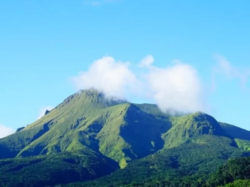
Segment 9 links Petite Macoucherie to Colihaut Heights on Dominica’s west side. It’s officially described as very difficult and is one of the more remote, “wild” WNT days. We haven’t explored this segment yet, and conditions can vary a lot depending on maintenance, weather, and recent storm impact.
Quick facts
- Difficulty: 9/10
- Duration: About 8 hours (typical)
- Cost: Trail Pass required for non-residents (confirm current pricing)
What you’ll do
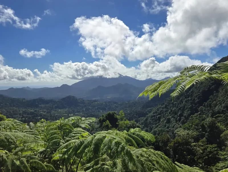
- Start from Petite Macoucherie and follow the segment as it leaves farm access areas and enters deeper forest.
- Work through steeper terrain and gullies where footing gets slow.
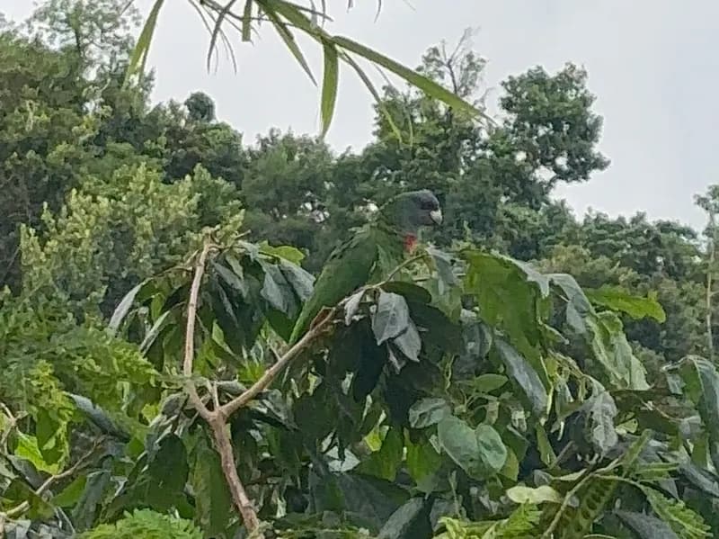
- Navigate sections that can be overgrown or blocked by fallen trees.
- Use rope-assisted sections where needed (conditions vary).
- Finish at Colihaut Heights and exit to the road for pickup.
Key tips
- Conditions vary a lot here. Don’t rely on one old description or one old GPX track.
- Long pants help with razor grass and dense vegetation.
- Expect slippery mud, especially after rain. Avoid after heavy rain.
- Carry an offline GPS track. Wayfinding can get stressful when the trail disappears in overgrowth.
- Treat rope sections with caution. Anchors and lines can change over time.
We haven’t explored the full Waitukubuli National Trail yet. A full end-to-end outing is planned during 2026 so we can update our on-the-ground notes (conditions, access, real timings). If you want to prepare an expedition for one segment or multiple segments, please fill out our form and we’ll connect you with guides based on the sections you want to do.